This is an interactive Google Map that allows you to create maps with markers and paths. I created a map of a walk through Austin Peay's Campus. It's very short and could be extended in the future but gives an overall view of how to use this site. The maps can be published to the web and be searchable or there are privacy settings which allow you to limit who may view your map. This site does not provide a tutorial which is one drawback but it is fairly easy to use with few exceptions. Students would enjoy using the satellite views as well as the traditional view. This tool could be used to introduce an area before a trip or as a chronicle of places visited. There are many possibilities for this tool. Using the satellite view helps students visualize the area which may be difficult using the other modes.
Tutorial
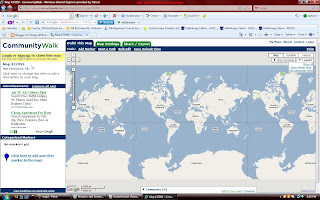
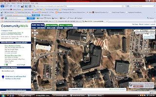
1. Follow this link: http://www.communitywalk.com/
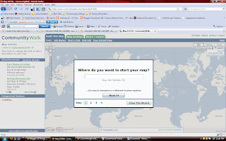
2. You must sign up to claim your map.
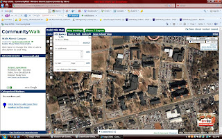
3. Begin by choosing your area.
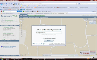
4. You may name your map.
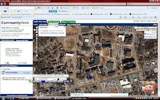
5. Now you may choose your view.
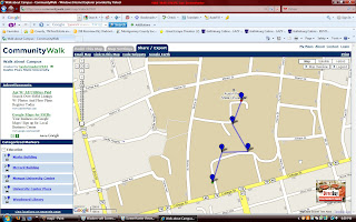
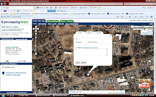
6. Add markers to your map.
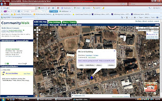
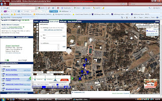
7. Now you may add a path to your map by clicking on pathway and then clicking on each marker in the order you want.
8. This is your final map.


No comments:
Post a Comment